Forecast charts
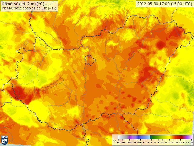
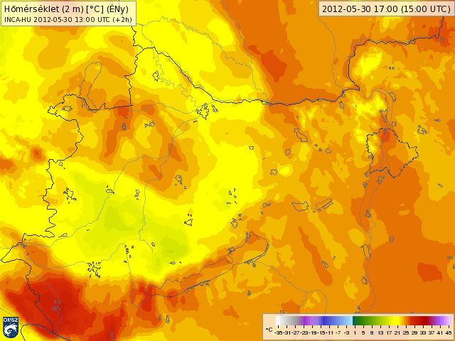
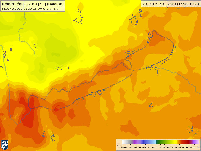
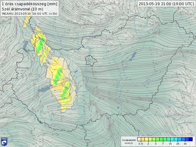
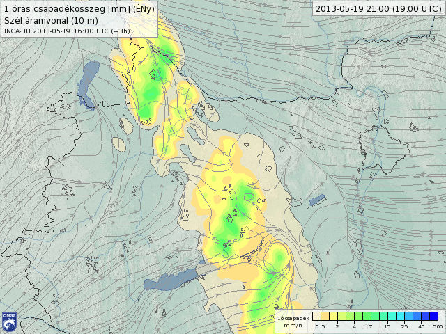
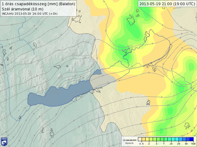
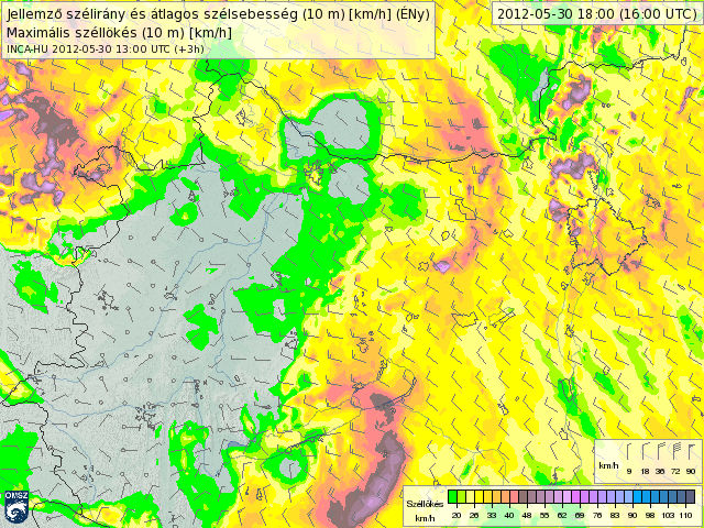
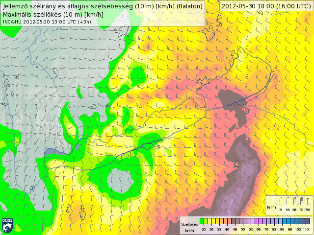
INCA is a high-resolution (1 km in horizontal), very short range forecast system, which has been developed by the Austrian Central Institute for Meteorology and Geodynamics (ZAMG) in cooperation with several Central European meteorological institutes. The INCA analyses and forecasts provide a correction of numerical model outputs with help of the most recent surface weather station data and other (radar, satellites) observations. This offers the user a more accurate picture about the current and future weather state in the very short (0-6h) time range and with a more frequent (1hour) update of information.
 |
 |
 |
 |
 |
 |
 |
 |
 |
This project is implemented through the CENTRALEUROPE Programme co-financed by the ERFA.